The National Weather Service has issued a winter storm watch for Lake County beginning at 6pm on Thursday December 22nd to extend through 6am on Saturday.
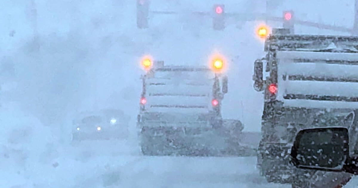
The storm will begin as rain or an icy mix and convert to all snow. The storm has the potential to drop as much as 18″ over the area. On Friday, wind gusts are expected to reach 55mph causing white out conditions with copious blowing and drifting. Travel is likely be hazardous and residents are advised to stay off the roads.
The potential is certainly there for this storm to be upgraded to a blizzard warning.
Meteorologists who are watching this low pressure center develop say this could form into a “bomb cyclone.” Such a phenomenon occurs when a low pressure system drops at least 24 millibars in 24 hours. This results in tight gradients and high winds are observed.
This storm is currently over the Rocky Mountains and is named “Elliott.”
With dropping temps and while the exact track is currently unknown, Lake County will have a white Christmas.